Why People Live Where They Live
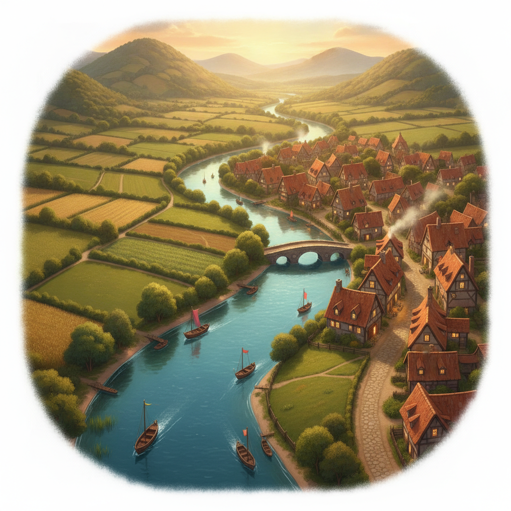
You've already seen more of the world than most people will in a lifetime — a market in Barcelona, a stable in Bavaria, a beach in Mexico. Geography is the subject that makes sense of all of it: where things are on the Earth, and why they ended up there. Cities don't appear randomly. Deserts stay empty for reasons. In this first lesson you'll learn the two halves of geography, why settlements grow where they do, and how to read a map like a geographer — using the very same scale maths you already know.
Physical geography is the natural world: mountains, rivers, climate, coastlines, deserts. Human geography is what people do: cities, farms, roads, borders, trade. Most interesting questions live where the two meet — e.g. "why did a city (human) grow at the mouth of a river (physical)?"
- Water — to drink, farm, and travel (rivers, lakes, coasts).
- Flat, fertile land — easy to build on and to grow food.
- Mild climate — not too hot, cold, or dry.
- Resources — wood, stone, metals, good soil.
- Trade routes — coasts, river crossings, and mountain passes where people and goods meet.
Places with several of these grow into cities. Places with none stay empty.
A map can't be life-size, so everything is shrunk by a fixed amount called the scale. A scale of 1 : 25 000 means 1 unit on the map = 25 000 of the same units in real life. So 1 cm on the map is 25 000 cm on the ground. Scale is the bridge between the little map in your hand and the huge world outside.
On a 1 : 50 000 hiking map, the trail from the stable to a watering hole measures 8 cm. How far is that in real life, in kilometres?
Step 1 — apply the scale: real distance $= 8 \text{ cm} \times 50\,000 = 400\,000$ cm.
Step 2 — convert cm → m: $400\,000 \div 100 = 4\,000$ m.
Step 3 — convert m → km: $4\,000 \div 1\,000 = 4$ km. The watering hole is a 4 km walk.
A town grew up exactly where a river meets the sea. Give three geographic reasons why.
Reasons: (1) Water — fresh water from the river, plus the sea for fishing. (2) Trade — boats can arrive from the sea and travel inland up the river, so goods are traded there (a natural port). (3) Flat land — river mouths are usually flat and fertile, good for building and farming. Several factors overlap in one spot — so a town grew.
-
Problem 1Label each as physical or human geography: (a) a mountain range, (b) a motorway, (c) a rainforest, (d) a country's border, (e) a river, (f) a city.physical or human for each →
-
Problem 2List three reasons early people chose to build a settlement next to a river.think water, food, travel… →
-
Problem 3On a 1 : 25 000 map, 1 cm represents how many centimetres in real life? How many metres is that?multiply by scale → convert cm to m →
-
Problem 4On a 1 : 50 000 map, a bridle path measures 6 cm. How far is it in real life? Give your answer in kilometres. (Show the cm → m → km steps.)real cm $= 6 \times 50\,000$× scale → ÷100 → ÷1000 →
-
Problem 5Two possible sites for a new riding stable:
Site A: flat land beside a stream, near a village road.
Site B: a steep, rocky hillside, far from any water or road.
Which site would you choose, and give three geographic reasons. What is one disadvantage of your chosen site?choose → three reasons → one downside → -
Problem 6Mia records the average summer temperature in three cities she's visited:
City Latitude Avg. summer temp Tromsø, Norway 69° N (far north) 12 °C Barcelona, Spain 41° N 28 °C Mérida, Mexico 21° N (near equator) 34 °C (a) As you move from far north toward the equator, does temperature rise or fall? (b) Suggest a reason why places nearer the equator are hotter. (c) Which of these climates sounds best for keeping horses comfortable in summer, and why?read the pattern → explain → judge → -
Problem 7 ChallengeA map has scale 1 : 100 000. In real life, two towns are 7 km apart. How far apart will they be on the map, in centimetres? (This is Worked Example 1 run backwards — start from real distance and shrink it down.)km → m → cm → ÷ scale →
-
Problem 8 OpenImagine you're founding a brand-new town somewhere in the world. Describe where you'd put it and justify the location using at least four geographic factors (water, land, climate, resources, trade). Then name one problem your location might face (e.g. floods, earthquakes, drought). There's no single right answer — explain your reasoning like a geographer.your town's location + four reasons + one risk →