Climate & the World's Biomes
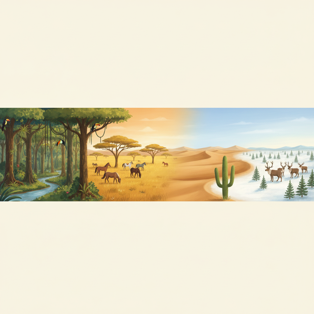
In your travels you've felt it: some places are hot and wet, others baking and dry, others cold all year. These patterns aren't random. The world is divided into a handful of great biomes — huge regions each with its own climate, plants, and animals. In this lesson you'll learn the difference between weather and climate, what decides a place's climate, and how to read the graphs geographers use to tell one biome from another.
Weather is what's happening right now — today it's raining in Munich. Climate is the average pattern over many years — Munich has warm, wettish summers and cold winters. Weather is a mood; climate is a personality. One rainy day in a desert doesn't make it a rainforest.
- Latitude — how far from the equator. Near the equator = hot; near the poles = cold (you saw this in g01).
- Altitude — how high up. The higher you go, the colder it gets — even mountains on the equator have snow on top.
- Distance from the sea — the sea keeps nearby places milder (cooler summers, warmer winters); places deep inland swing to bigger extremes.
A biome is a large region defined by its climate and the life adapted to it. The main ones:
| Biome | Climate | Life |
|---|---|---|
| Tropical rainforest | Hot & very wet all year | Dense trees, huge variety of animals |
| Desert | Very dry, hot days / cold nights | Cacti, camels, lizards |
| Grassland (savanna) | Warm, a wet & a dry season | Grasses, grazing herds, horses' wild ancestors |
| Temperate forest | Mild, four seasons | Leafy trees, deer, foxes |
| Tundra | Freezing, dry, treeless | Moss, reindeer, hardy animals |
Mount Kilimanjaro sits almost on the equator, where it's boiling hot — yet its peak is covered in snow. How can that be?
Altitude is the answer. Latitude makes the base hot, but the mountain rises nearly 6 km up, and the higher you go the colder the air becomes. So the same mountain is tropical at the bottom and freezing at the top — two controls (latitude and altitude) pulling in opposite directions, with altitude winning at the summit.
Two cities' yearly climate:
| City | Avg temp | Yearly rainfall |
|---|---|---|
| City A | 27 °C | 2 200 mm |
| City B | 22 °C | 40 mm |
City A is hot and very wet → tropical rainforest. City B is warm but almost no rain (40 mm a year!) → desert. The rainfall number does most of the sorting here.
-
Problem 1Weather or climate? (a) "It's snowing right now." (b) "Egypt is hot and dry most of the year." (c) "There's a thunderstorm this afternoon." (d) "Winters here are usually mild and rainy."weather or climate for each →
-
Problem 2Name the three main controls on a place's climate, and for each give one sentence on how it changes the temperature.latitude / altitude / distance from sea →
-
Problem 3Match the biome to the clue: (a) hot and wet all year, (b) freezing and treeless, (c) very dry with cacti, (d) grasses and grazing herds with a wet and dry season.rainforest / tundra / desert / grassland →
-
Problem 4Three cities Mia has visited, with their summer and winter temperatures:
City Summer Winter Coastal town (by the sea) 24 °C 9 °C Inland city (far from sea) 33 °C −4 °C (a) Work out the temperature range (summer − winter) for each. (b) Which place has the bigger swing? (c) Which control on climate explains why the coastal town is milder?range = summer − winter → compare → name the control → -
Problem 5A place has an average temperature of 26 °C and gets 2 500 mm of rain spread through every month of the year. Which biome is it, and give two reasons from the data.hot? wet all year? → biome →
-
Problem 6Wild horses first thrived on open grasslands (like the steppes of Central Asia). Using what a grassland is like, explain why grasslands suit grazing animals such as horses, and why a dense rainforest would not.what grows on grassland vs rainforest → why it suits horses →
-
Problem 7 ChallengeTwo towns sit at the same latitude, so they get the same sunshine. Town X is at sea level and stays mild; Town Y is high in the mountains and is much colder, with snow in winter. (a) Which control on climate explains the difference? (b) Roughly, the air cools about 6 °C for every 1 000 m you climb. If Town X averages 18 °C and Town Y is 2 000 m higher, estimate Town Y's average temperature.name the control → 6 °C per 1000 m → 2000 m = how much cooler? →
-
Problem 8 OpenInvent an animal perfectly adapted to one biome of your choice. Describe the biome's climate, then give three features of your animal (body covering, food, how it copes with the heat/cold/dryness) and explain how each feature fits the climate. There's no single right answer — think like a geographer and a naturalist.pick a biome → design an animal → justify each feature →